
Certified to Fly, Ready to Deliver.
Trusted Aerial Solutions from Certified Experts.

Professional Drone Services
You Can Rely On.

Precision. Safety. Certified.
4K Aerial
Footage
Fully
Certified
Fast
Turnaround
Quick
Deployment
Our Services

Drone Surveying

Drone Roof Surveying

Drone Land Surveying

Thermal Solar Panel Inspection
Why Use Drone Surveys?
Infrastructure & Utility Inspection
Power lines : Detect hot spots, damaged insulators, or corrosion using thermal and zoom sensors.
Substations : Conduct safe, detailed thermal scans without shutting down equipment.
Pipelines : Identify leaks, heat anomalies, and encroachment risks.
Bridges & towers : High-resolution imaging for crack detection and structural monitoring.
Building & Roof Inspections
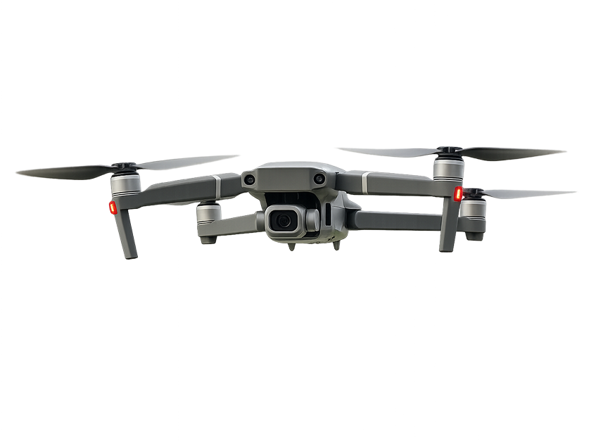
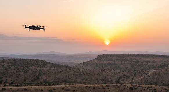
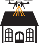
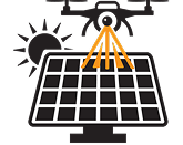
Detect thermal leaks, moisture intrusion, or solar panel faults.
Generate orthomosaic maps for large rooftops or industrial sites.
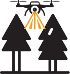
Non-contact inspections of hard-to-reach areas (e.g., high-rise façades).
Benefit: Accurate, fast, and safe assessments for insurers, surveyors, and property managers.
Agriculture & Forestry
Crop health analysis : Detect disease, drought stress, and pest impact.
Drainage planning : Use topographic data for water flow modeling.
Livestock monitoring : Locate and check animals via thermal imaging.
Forest management : Fire detection, tree health surveys.
Benefit : Enables precision agriculture and early problem detection.
Law Enforcement & Security
Surveillance and reconnaissance in urban or rural operations.
Crowd monitoring and traffic control during events.
Pursuit support with thermal tracking. Monitor perimeter security of sensitive facilities.
Benefit : Discreet and real-time intelligence gathering with minimal personnel.
Environmental Monitoring
Flood mapping and water level monitoring.
Track thermal pollution or illegal discharges into water bodies.
Monitor landfill leachate, wildfires, or conservation areas.
Create elevation and erosion models for land management.
Benefit: Supports compliance, conservation, and risk reduction.
Construction & Surveying
Site monitoring using photogrammetry. Volume measurement of stockpiles or earthworks.
Visual and thermal inspection of construction defects or equipment.
Track progress over time with automated flight routes.
Benefit: Reduces manual survey time and enhances project oversight.
Oil, Gas & Industrial Facilities
Inspect flare stacks, tanks, and pipelines from a safe distance.
Detect gas leaks (with optional third-party sensors).
Monitor perimeter and worker safety.
Benefit : Minimizes downtime and improves worker safety.
Transport Infrastructure
Pavement inspections.
Thermal inspection of lighting systems and substations.
Benefit: Enhances safety