Drone Surveying
Our Process

Initial Enquiry
You provide an overview of your project and site, including any specific goals or challenges. We work with you to understand the scope and tailor our survey to meet your exact needs.

Shoot Day
Our expert pilots arrive fully prepared with the right equipment, conducting systematic flights to capture high-resolution images and data while prioritising safety and minimal disruption.

Analysis & Evaluation
We process and analyse the aerial data to create detailed maps, 3D models, or comprehensive reports that provide valuable insights for your project planning and decision-making.

How we work
- Strict adherence to safety and aviation regulations
- Use of advanced drones and sensors for precise data capture
- Clear, ongoing communication throughout the project
Ready to Elevate Your Surveying Experience?
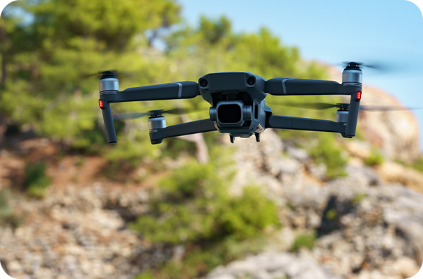
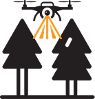
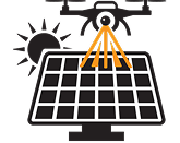
Harness the power of advanced drone technology to streamline your surveying projects. Our precise data capture and thorough analysis provide you with clear, actionable insights faster than traditional methods. Whether you’re planning a development or monitoring progress, Certified Drone Services delivers the accuracy and efficiency you need to make confident decisions every step of the way. Get in touch today to see how we can support your next project with aerial expertise you can trust.

Other Services We Offer

Drone Roof Surveying

Drone Land Surveying
