Drone Land Surveying

Our Process

Initial Enquiry

Tell us about your land, including size, terrain, and survey requirements. We assess your objectives and tailor our approach to capture the most relevant data.

Shoot Day

We perform systematic aerial flights, capturing accurate topographic and geographic data quickly, even over challenging or remote terrain.

Analysis & Evaluation

Data is processed into detailed maps, elevation models, and surveys, providing essential information to support development, planning, or environmental monitoring.

How We work

  • Efficient coverage of extensive or difficult-to-access areas
  • GPS-integrated drones and advanced sensors for high accuracy
  • Customised outputs designed around your specific project needs

Ready to Elevate Your Surveying Experience?

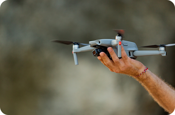
Large, complex, or hard-to-access sites don’t have to slow down your projects. Our drone land surveying services cover expansive areas quickly and accurately, delivering detailed maps and models that support smart planning and management. Certified Drone Services is committed to providing you with reliable, high-quality data that saves time and reduces costs. Reach out today to discover how aerial land surveying can transform the way you work.

Other Services We Offer

Drone Surveying

High-resolution aerial data capture for accurate site analysis, planning, and reporting.

Drone Roof Surveying

Safe, efficient inspections that identify damage and defects without the need for scaffolding or ladders.

Thermal Solar Panel Inspection

Identify faults, hotspots, and performance issues quickly with non-invasive thermal drone technology.
Scroll to Top